


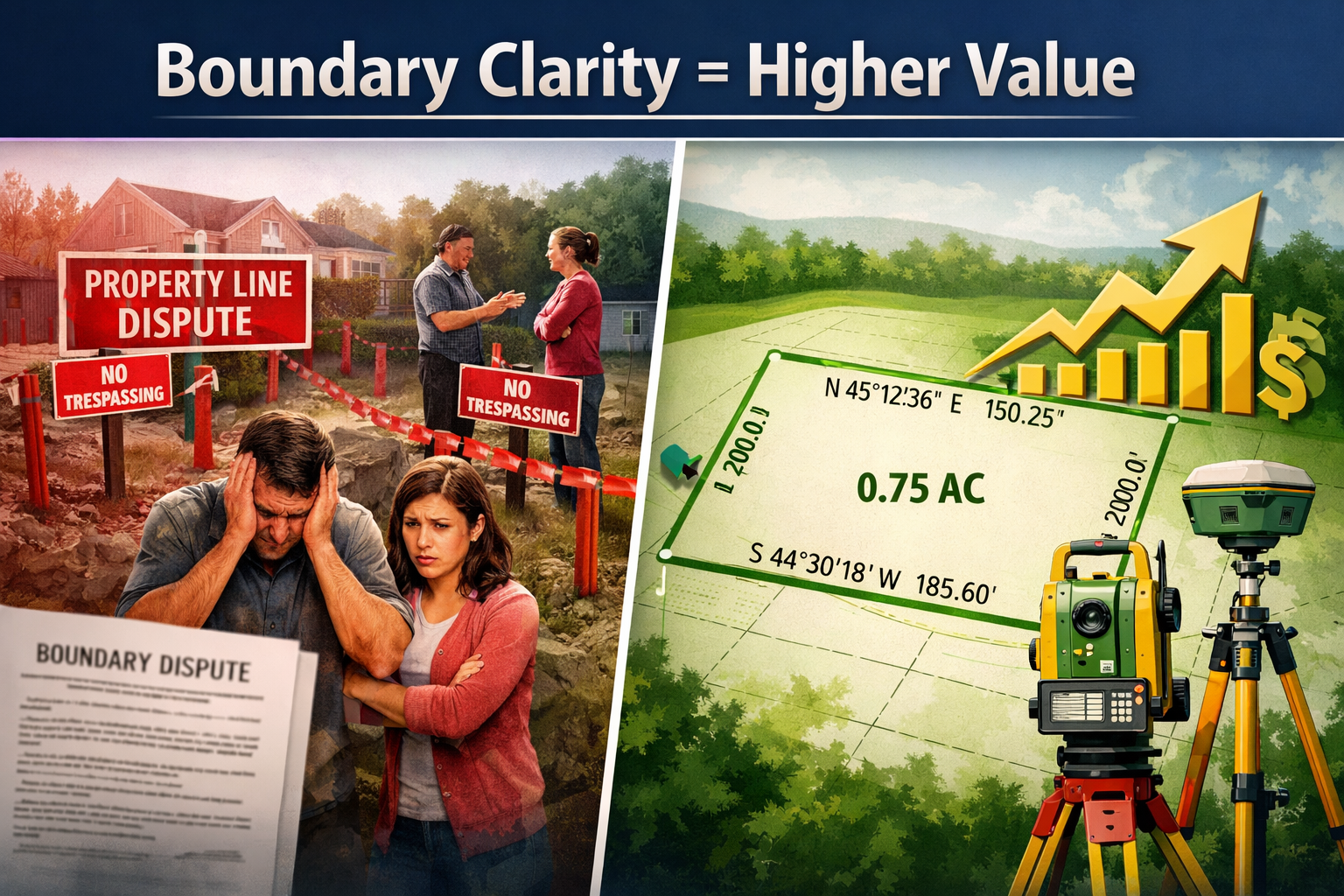
Boundary disputes cost UK property owners an average of £12,000 to £50,000 in legal fees alone — and that figure does not include lost sale opportunities, delayed completions, or the emotional toll of a drawn-out neighbour conflict. In 2026, as the UK property market remains fiercely competitive and buyers demand greater transparency, an up-to-date land survey has quietly become one of the most powerful tools a property owner can hold. Understanding how up-to-date land surveys boost property value in 2026: boundary clarity, development potential, and market edge is no longer optional knowledge — it is a strategic advantage.
Key Takeaways 📋
- ✅ Boundary clarity from a current survey prevents costly disputes and reassures buyers, directly protecting and enhancing property value.
- ✅ Development potential — including extensions, subdivisions, and planning applications — can only be fully unlocked when accurate survey data confirms exact plot dimensions.
- ✅ Market edge in 2026 comes from speed and certainty: properties with survey documentation sell faster and are less likely to fall through.
- ✅ The ROI of a land survey far outweighs its cost, with a typical survey costing £500–£1,500 versus disputes that can run into tens of thousands.
- ✅ Lenders, insurers, and buyers increasingly require or strongly prefer up-to-date survey evidence before proceeding with transactions.
Why Boundary Clarity Is the Foundation of Property Value
Every square metre of land has a monetary value. In London and the South East, that value can exceed £1,000 per square metre for residential plots. Yet a surprising number of property owners cannot state with legal certainty exactly where their land begins and ends.
Title register plans held at HM Land Registry are drawn to a general boundary rule — meaning they show the approximate position of a boundary, not the precise legal line. Without a professional survey, that ambiguity is a ticking clock.
The Real Cost of Boundary Uncertainty
Consider what happens when a property goes to market without clear boundary evidence:
| Scenario | Potential Financial Impact |
|---|---|
| Neighbour disputes boundary during sale | Sale falls through; re-listing costs £2,000–£5,000 |
| Buyer's solicitor flags boundary discrepancy | Price renegotiation of 3–8% of sale price |
| Boundary dispute escalates to court | Legal fees of £12,000–£50,000+ |
| Encroachment discovered post-purchase | Remediation costs vary widely; possible demolition |
An up-to-date boundary survey eliminates this uncertainty before it becomes expensive. It provides a precise, scaled plan showing the exact position of fences, walls, hedges, and other boundary features — evidence that solicitors, lenders, and buyers can rely on.
💬 "A boundary survey costing £800 today can prevent a legal dispute costing £30,000 tomorrow. The maths is straightforward."
How Boundary Clarity Directly Adds Value
When a property has documented, professionally verified boundaries, several things happen simultaneously:
- Buyer confidence increases — there are no hidden surprises waiting after exchange
- Mortgage lenders proceed more smoothly — fewer requests for indemnity insurance
- Solicitors complete searches faster — reducing the risk of sale fall-throughs
- Negotiation leverage shifts to the seller — documented clarity justifies the asking price
For anyone dealing with a boundary dispute resolution situation, the cost of inaction is almost always higher than the cost of commissioning a survey early. Understanding the average cost of a boundary dispute makes this ROI case even clearer.
Unlocking Development Potential Through Accurate Survey Data
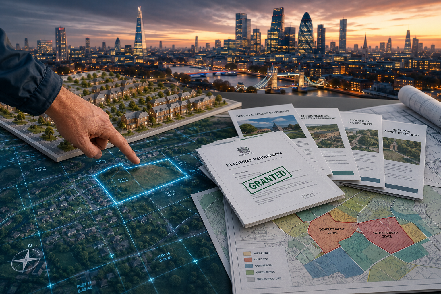
The second major way that up-to-date land surveys boost property value in 2026 is through development potential. This is where survey data transforms from a defensive tool into an offensive one.
Extensions, Outbuildings, and Permitted Development
Before any planning application, extension project, or outbuilding construction can proceed confidently, an owner needs to know:
- The exact dimensions of the plot
- The precise setback distances from boundaries
- The location of any easements or rights of way crossing the land
- Whether any restrictive covenants affect what can be built
Without accurate survey data, planning applications can be submitted on incorrect assumptions — leading to refusals, redesigns, and wasted professional fees. A current survey removes that risk entirely.
For context, a single-storey rear extension in London can add £50,000 to £100,000 to a property's value. If a survey costing £600–£1,200 is what unlocks the confidence to proceed, the return on investment is exceptional.
Plot Subdivision and Land Sales
In 2026, land values in urban and suburban areas remain high. Many properties — particularly those with large rear gardens — have subdivision potential that owners have not explored simply because they lack precise measurements.
An up-to-date survey can reveal:
- Whether a plot is large enough to subdivide and sell a portion
- Whether a new dwelling could be positioned without breaching planning setbacks
- The exact area of any proposed new plot for valuation purposes
This is particularly relevant in areas like Islington, Kensington, and Chiswick, where land values are high and even small plots carry significant worth.
Monitoring Surveys for Ongoing Development Projects
For properties already undergoing development or construction nearby, monitoring surveys provide an additional layer of protection. These surveys track any movement or structural change over time — critical evidence if a neighbouring development causes damage or encroachment.
The Planning Permission Premium
Properties with planning permission already granted command a measurable premium in the market — often 10–20% above comparable properties without permission. Accurate survey data is a prerequisite for obtaining that permission. In this way, the survey is not just a cost; it is a direct contributor to a higher sale price.
Gaining Market Edge in 2026's Competitive Property Landscape
The third dimension of how up-to-date land surveys boost property value in 2026: boundary clarity, development potential, and market edge comes down to speed and certainty in transactions.

Why Buyers and Lenders Demand Survey Evidence in 2026
The UK property market in 2026 operates in an environment of:
- Higher buyer due diligence — post-pandemic buyers are more cautious and research-driven
- Stricter lender requirements — mortgage providers increasingly flag boundary ambiguities
- Faster digital conveyancing — which paradoxically highlights gaps in documentation more quickly
A property that arrives on the market with a current survey report, clear boundary documentation, and verified plot dimensions stands out immediately. It signals a well-managed, transparent sale — exactly what buyers and their solicitors want to see.
The Speed-to-Sale Advantage 🏃
Properties with complete survey documentation typically:
- Reduce conveyancing time by 2–4 weeks on average
- Lower the risk of fall-throughs — which currently affect approximately 30% of agreed UK sales
- Attract more serious buyers — those who have financing in place and are ready to proceed
In a market where a delayed sale can mean re-listing at a lower price, the time value of a survey is real and quantifiable.
Using Survey Data to Negotiate From Strength
Survey data works both ways. Sellers use it to justify their asking price. Buyers use survey findings to renegotiate. Understanding how an RICS survey can help negotiate property price is valuable from either side of the transaction.
For sellers, having a current survey means:
- Pre-empting buyer objections before they arise
- Demonstrating transparency that builds trust
- Avoiding price chips based on unverified concerns
For buyers, commissioning the right survey before purchase is equally important. Knowing which home survey is right for you ensures the right level of detail is obtained without overspending.
The ROI Case: Survey Costs vs. Value Created in 2026
Let's put concrete numbers to the argument. Here is a realistic comparison of survey investment versus value impact in 2026:
| Survey Type | Typical Cost (2026) | Value Protected or Created |
|---|---|---|
| Boundary survey | £500 – £1,200 | Prevents disputes worth £12,000–£50,000 |
| Full building survey (Level 3) | £800 – £1,800 | Avoids post-purchase repair surprises of £5,000–£40,000 |
| Topographic / development survey | £900 – £2,000 | Unlocks planning permission worth 10–20% uplift |
| Monitoring survey | £600 – £1,500 | Protects against construction damage claims |
The numbers make a compelling case. Even in the most conservative scenario, a survey costing under £2,000 protects against risks or unlocks opportunities worth many times that amount.
Choosing the Right Survey Level
Not every property needs the same type of survey. The key is matching the survey to the property's age, condition, and purpose:
- Level 2 (HomeBuyer Report) — suitable for modern, well-maintained properties
- Level 3 (Full Building Survey) — recommended for older, larger, or unusual properties
- Boundary survey — essential when boundaries are unclear or disputed
- Topographic survey — needed for development or planning applications
For a detailed comparison, the guide on home survey levels 2 vs level 3 provides clear guidance on choosing the right option.
Common Misconceptions About Land Surveys and Property Value
❌ Myth: "The Land Registry plan is enough."
Reality: Land Registry title plans show general boundaries only. They are not a substitute for a professional survey and cannot be used as evidence of precise boundary positions.
❌ Myth: "Surveys are only needed when buying."
Reality: Sellers benefit enormously from having current survey data. It accelerates sales, prevents renegotiation, and supports asking prices.
❌ Myth: "My property hasn't changed, so the old survey is fine."
Reality: Boundaries can shift due to fence replacements, encroachments, or neighbour activity. A survey more than 5–10 years old may not reflect current conditions.
❌ Myth: "Surveys are too expensive for the benefit they provide."
Reality: As the cost comparison table above shows, the ROI is strongly positive in almost every scenario.
Practical Steps: How to Use a Survey to Maximise Property Value
Taking action on survey data requires a clear process. Here is a straightforward roadmap:
- Commission a current boundary survey — especially before listing a property or beginning any development
- Review the findings with a solicitor — ensure any boundary issues are resolved before marketing
- Use survey data in planning applications — provide accurate plot dimensions and setback measurements
- Share survey documentation with buyers' solicitors early — speed up conveyancing and reduce fall-through risk
- Consider a monitoring survey if neighbouring construction is planned or underway
- Match the survey level to the property — use the appropriate survey type for the transaction
For those preparing for a professional inspection, understanding what to do before an RICS home survey ensures the process runs smoothly and produces the most useful results.
Conclusion: The Strategic Value of Surveys in 2026
How up-to-date land surveys boost property value in 2026: boundary clarity, development potential, and market edge is not a theoretical proposition — it is a practical, financially quantifiable reality. In a market where buyers are cautious, lenders are thorough, and disputes are expensive, a current survey is one of the highest-return investments a property owner can make.
The three pillars are clear:
- 🏠 Boundary clarity protects value by eliminating legal risk and buyer uncertainty
- 🏗️ Development potential creates value by enabling extensions, planning applications, and plot optimisation
- 🏆 Market edge accelerates value realisation by speeding sales and reducing fall-throughs
Actionable Next Steps
- Property owners preparing to sell: Commission a boundary survey at least 3 months before listing
- Buyers: Always commission the appropriate level of survey before exchange — never rely on a mortgage valuation alone
- Developers and investors: Use topographic surveys as the first step in any development feasibility assessment
- Anyone in a boundary dispute: Seek professional survey evidence before engaging solicitors — it is almost always cheaper
The cost of a survey in 2026 is modest. The cost of not having one can be life-changing. Act early, document thoroughly, and let accurate data do the work.