Sustainability in Surveying: Tools for Eco-Friendly Land Development in 2026
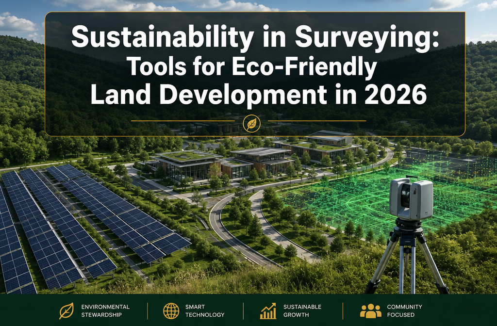
By 2026, 85% of surveying firms have integrated drone technology into their workflows — not just for speed, but to actively reduce carbon footprints across land development projects. That single statistic signals a profound shift in how the profession operates. Sustainability in Surveying: Tools for Eco-Friendly Land Development in 2026 is no longer a niche […]
LiDAR and 3D Laser Scanning: Advanced Techniques for Precise Property Surveys
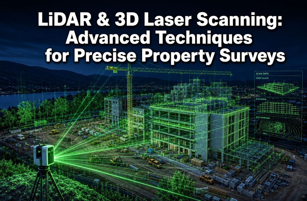
A single millimetre of measurement error in a boundary dispute can cost a property owner tens of thousands of pounds in legal fees. That stark reality is driving a rapid shift toward LiDAR and 3D laser scanning: advanced techniques for precise property surveys — technologies that now deliver sub-centimetre accuracy at speeds no traditional tape […]