
Land surveying stands as one of the world’s oldest professions, yet many people have only a vague understanding of what surveyors actually do. Whether you’re considering hiring a surveyor for your property, exploring career options, or simply curious about this essential profession, understanding the comprehensive role surveyors play in our built environment is valuable knowledge. From establishing property boundaries to creating detailed maps, surveyors combine precision, technical expertise, and legal knowledge to deliver services that impact everything from home ownership to major infrastructure projects.
What Is Land Surveying?
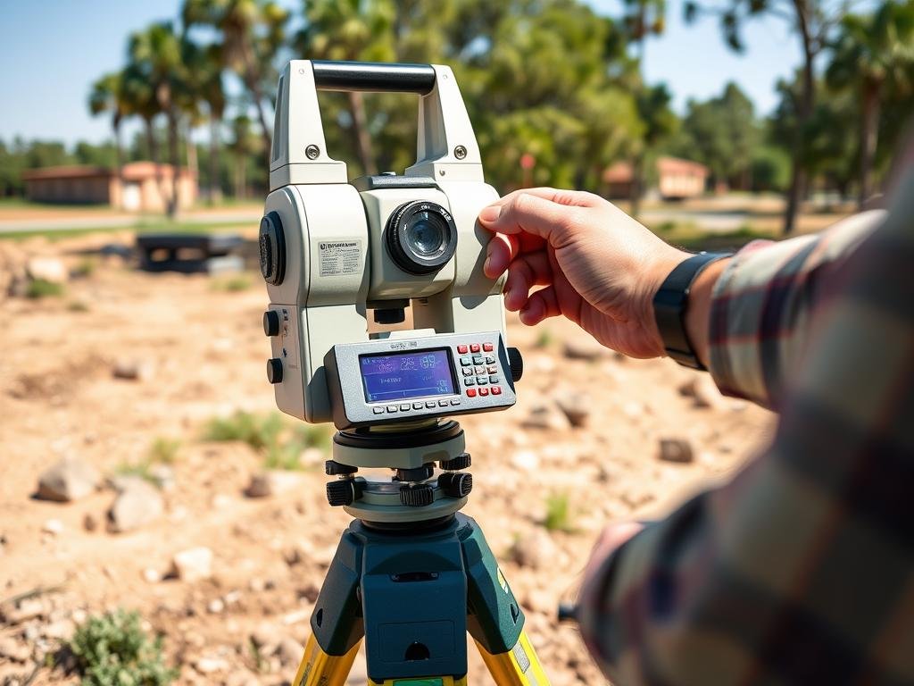
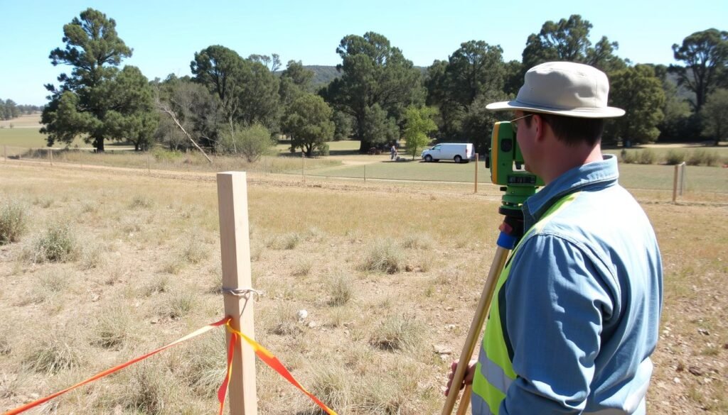
A professional land surveyor using a total station to establish property boundaries
Land surveying is the science and art of determining the terrestrial or three-dimensional positions of points and the distances and angles between them. These points are typically located on, above, or below the surface of the earth and are used to establish land maps and boundaries for ownership, exploration, or other purposes.
A land survey allows property owners to understand their boundaries by establishing or reestablishing corners, lines, boundaries, and monuments of real property based on recorded documents, historical evidence, and present standards of practice. Surveys might also include the topography of the parcel and the location of buildings and other improvements made to the property.
Why Land Surveying Matters
Land surveying is an essential component of any construction or development project. Without accurate surveys, property disputes arise, construction projects encounter costly delays, and legal complications can emerge. Surveying provides the foundation for:
- Establishing legal property boundaries
- Planning and executing construction projects
- Creating accurate maps and legal descriptions
- Resolving property line disputes
- Ensuring compliance with local zoning regulations
- Supporting infrastructure development
What Does a Surveyor Do? Core Responsibilities
Professional land surveyors are trained to use an intricate combination of law, math, engineering, and physics to establish property boundaries. Their work involves both field measurements and office-based research and analysis. Here’s a closer look at what surveyors do on a daily basis:
Modern GPS equipment allows surveyors to make precise measurements
Field Measurements
Once on-site, surveyors measure topographic distances, directions, and angles between points of interest. They use specialized equipment such as:

Total station for precise angle and distance measurements
- Total stations – Electronic/optical instruments for measuring angles and distances
- GPS surveying systems – For determining precise geographic positions
- Levels and rods – For measuring height differences
- Drones – For aerial mapping and surveying
- 3D scanners – For creating detailed point clouds of physical objects
Surveyors identify and document property features such as buildings, fences, roads, and bodies of water. They use accurate reference points called benchmarks to determine the precise location of these features. A benchmark is a permanently marked point with a known elevation and position that serves as a reference for surveying work.
Research and Analysis
The surveyor’s job extends well beyond field measurements. They conduct extensive research to ensure accuracy:
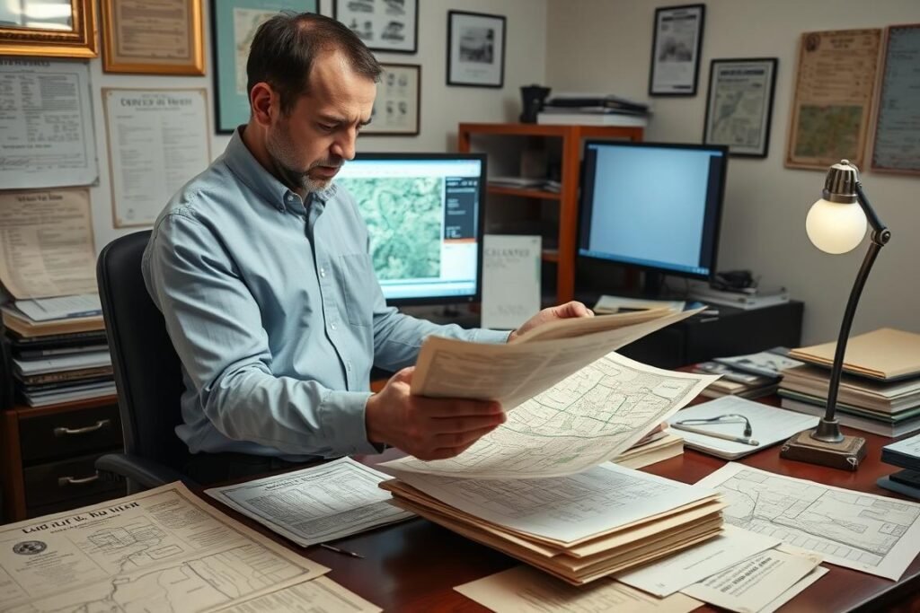
Researching historical property records is a crucial part of a surveyor’s work
- Researching public records, deeds, and previous surveys
- Analysing historical information about the property
- Verifying data accuracy and consistency
- Collaborating with other professionals (engineers, architects, construction managers)
- Applying legal principles to boundary determinations
Documentation and Reporting
After completing field measurements and research, surveyors create detailed documentation:
- Preparing survey-grade maps and plats
- Creating legal descriptions of properties
- Developing topographic maps showing land contours
- Producing CAD drawings for construction projects
- Certifying surveys for legal purposes
- Providing expert testimony in court when needed
Types of Surveyors and Specialisations
The surveying profession encompasses various specializations, each focusing on different aspects of measurement and mapping:
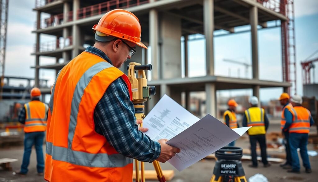
Construction surveyors play a vital role in ensuring building projects follow plans precisely
Land Surveyors
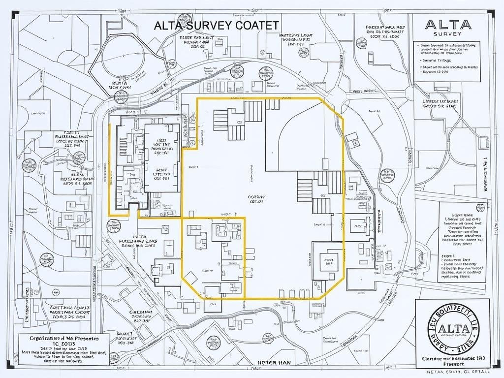
Focus on establishing property boundaries, creating legal descriptions, and resolving boundary disputes. They conduct boundary surveys, mortgage location surveys, and ALTA/NSPS surveys for real estate transactions.
Construction Surveyors
Specialize in construction layout and as-built surveys. They ensure buildings and infrastructure are constructed according to design plans and document the final positions of completed structures.
Geodetic Surveyors
Work with large areas and account for the Earth’s curvature. They establish control networks and reference points used by other surveyors and create highly accurate positioning systems.
Hydrographic Surveyors
Measure and map underwater terrain in oceans, rivers, and lakes. Their work is essential for navigation, offshore construction, and environmental monitoring of water bodies.
Mining Surveyors
Specialize in underground and surface mine surveys. They help plan mining operations, monitor excavation progress, and ensure safety compliance in mining environments.
GIS Surveyors
Focus on Geographic Information Systems, combining surveying data with spatial analysis. They create digital maps and databases that integrate various types of geographic information.
Types of Land Surveys
Depending on the client’s needs, surveyors perform various types of surveys:
A survey provides comprehensive property information for real estate transactions
| Survey Type | Purpose | Typical Client |
| Boundary Survey | Establish property lines and corners | Property owners, developers |
| Topographic Survey | Map land elevations and features | Engineers, architects, developers |
| ALTA/NSPS Survey | Comprehensive property survey for transactions | Commercial real estate buyers, lenders |
| Mortgage Location Survey | Verify property descriptions for lending | Lenders, title companies |
| Construction Survey | Guide construction according to plans | Contractors, builders |
| As-Built Survey | Document completed construction | Property owners, municipalities |
The Surveying Process: From Research to Final Map
Understanding the surveying process helps clients appreciate the thoroughness and expertise involved in creating accurate surveys. Here’s how surveyors typically approach a project:
Setting boundary markers is a critical step in the surveying process
- Initial Research – Gather existing property information, deeds, maps, and previous surveys
- Field Reconnaissance – Visit the site to plan the survey approach and identify visible markers
- Field Measurements – Collect precise measurements using specialized equipment
- Data Processing – Convert field data into usable information through calculations and analysis
- Boundary Determination – Apply legal principles and professional judgment to establish boundaries
- Map Creation – Develop detailed, survey-grade maps and documentation
- Review and Certification – Licensed surveyor reviews, signs, and seals the final survey
The Importance of Benchmarks
Benchmarks are permanent reference points with known positions and elevations. They serve as the foundation for accurate surveying work. Surveyors use these established points to:
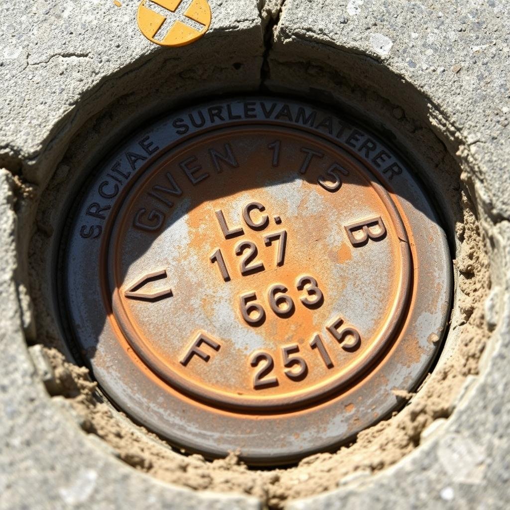
A permanent benchmark marker provides a reliable reference point for surveyors
- Ensure consistency across different surveys
- Maintain accuracy when working over large areas
- Provide reference points for future surveys
- Connect local surveys to national coordinate systems
Essential Skills and Qualifications for Surveyors
Becoming a professional land surveyor requires a specific set of skills and qualifications:

Modern surveyors need strong technical skills including CAD and GIS software proficiency
Technical Skills
- Strong mathematical abilities
- Proficiency with surveying equipment
- CAD software expertise
- GIS knowledge
- Understanding of legal principles
- Physical stamina for fieldwork
- Attention to detail
Education and Licensing
- Bachelor’s degree in surveying, geomatics, or civil engineering
- Work experience under licensed surveyors
- Passing a Surveying exam
- Passing the Assessment of Professional Competence (APC) exam
- State licensure as a Professional Land Surveyor (PLS)
- Continuing education to maintain licensure
Career Outlook and Salary
The surveying profession offers stable career prospects with opportunities in various industries:

Surveyors often work in teams on large-scale construction and development projects
| Career Aspect | Details |
| Median Annual Salary | £50,000 (May vary by location, experience, and specialization) |
| Job Growth | 2% growth projected through 2031 |
| Top Industries | Engineering services, government, construction, real estate |
| Work Environment | Combination of outdoor fieldwork and office-based analysis |
| Career Advancement | Project manager, department head, company owner |
Modern Surveying Technology
The surveying profession has evolved dramatically with technological advancements. Today’s surveyors use sophisticated tools that increase accuracy and efficiency:

Drones have revolutionized aerial surveying, allowing for rapid data collection over large areas
GPS/GNSS Systems
Global Navigation Satellite Systems provide centimeter-level accuracy for positioning. Real-Time Kinematic (RTK) GPS allows surveyors to collect precise data in real-time, dramatically increasing efficiency.
LiDAR and 3D Scanning
Light Detection and Ranging technology creates detailed 3D point clouds of physical environments. These systems can collect millions of data points in minutes, capturing comprehensive site information.
Unmanned Aerial Vehicles (Drones)
Drones equipped with cameras and sensors collect aerial data for mapping and modeling. They’re especially valuable for surveying large or difficult-to-access areas quickly and safely.
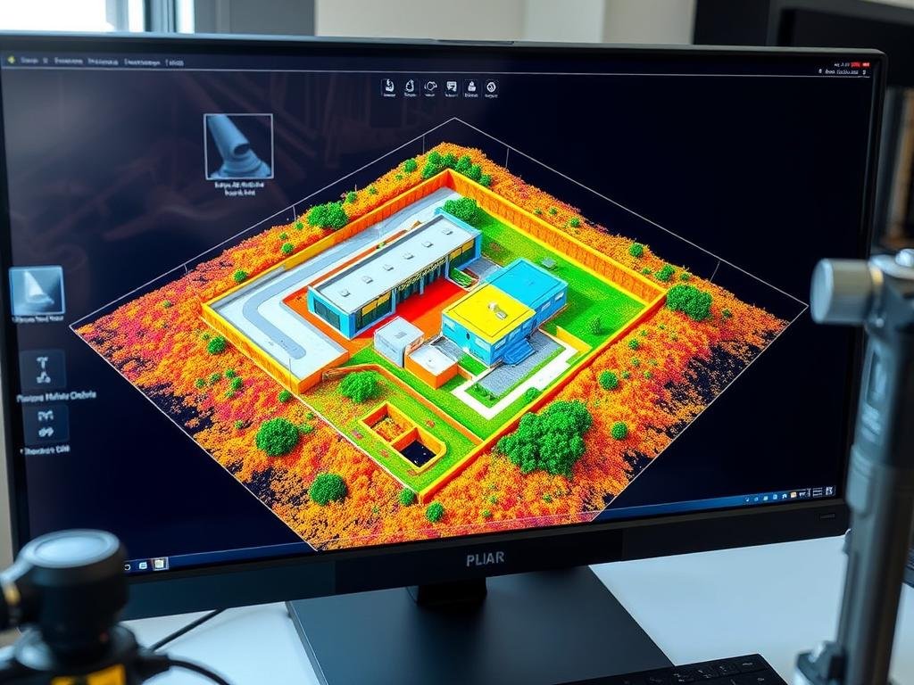
LiDAR technology creates detailed 3D models with millions of measurement points
These technological advancements have transformed the surveying profession, allowing for greater accuracy, efficiency, and capabilities. However, the fundamental principles of surveying and the need for professional judgment and expertise remain essential.
When to Hire a Surveyor
Understanding when to hire a professional land surveyor can save property owners time, money, and potential legal complications. Here are common situations when surveying services are necessary:
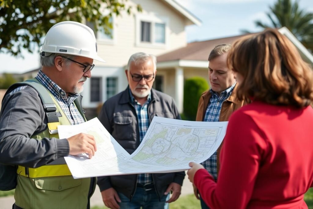
Consulting with a professional surveyor helps property owners understand their boundaries
- Buying or selling property – Confirm exact boundaries and property features
- Building near property lines – Ensure compliance with setback requirements
- Resolving boundary disputes – Get definitive answers about property lines
- Subdividing land – Create legally valid new parcels
- Obtaining construction permits – Provide required documentation for approval
- Determining flood risk – Establish elevation relative to flood zones
- Installing fences or walls – Avoid encroachment on neighboring properties
“When hiring a land surveyor, you need a specially trained professional, adept at using innovative equipment, technical expertise, and thorough research to interpret information that impacts the integrity of your project.”
The Future of Land Surveying
Land surveying continues to evolve with technological advancements and changing needs:
- Integration of artificial intelligence for data analysis
- Expanded use of mobile mapping systems
- Greater emphasis on 3D modeling and visualization
- Increased demand for specialised environmental surveying
- Growing importance of digital data management and security
Despite these changes, the fundamental importance of surveying remains constant. Surveyors will continue to be needed to certify boundary lines, work on resource extraction projects, and review sites for construction. The profession combines the precision of science with the judgment of experience, providing essential services for property owners, developers, and the built environment.
Need Professional Surveying Services?
From boundary disputes to construction layout, our team of licensed professional surveyors provides accurate, reliable services tailored to your specific needs. Contact us today for a consultation.