Land Survey Costs in 2026: Complete Pricing Guide, Factors, and How to Save Money Amid Rising Inflation
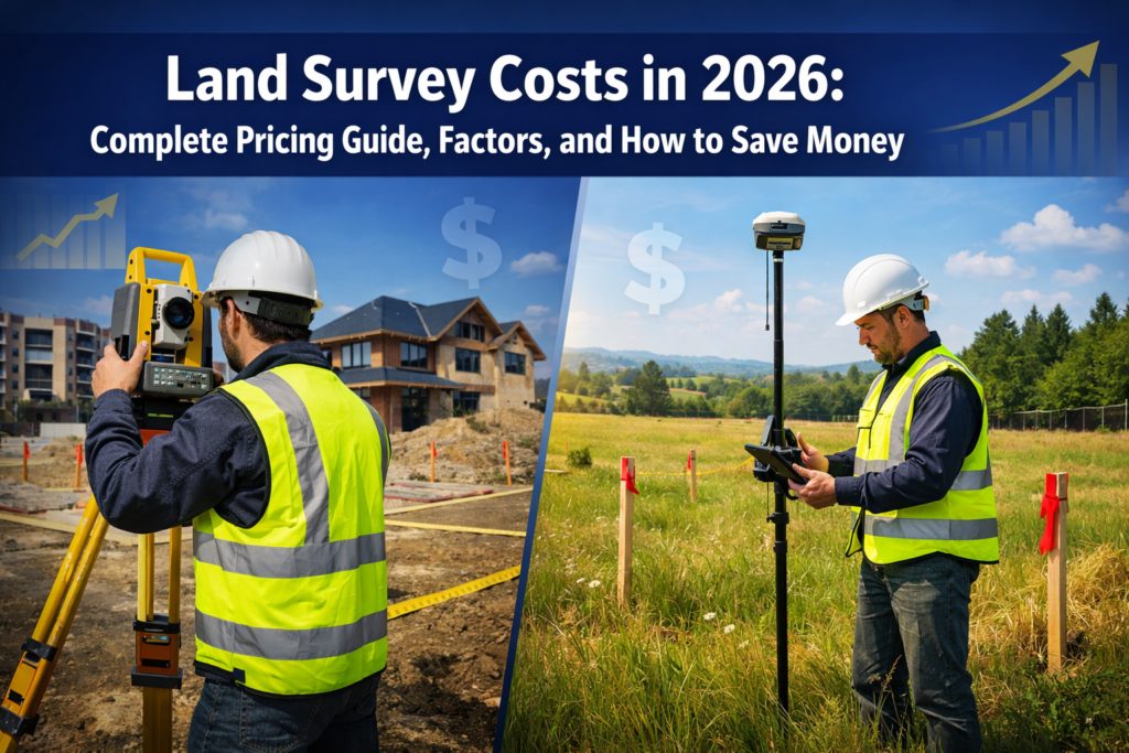
When planning to purchase property, build a new home, or resolve a boundary dispute in 2026, understanding land survey costs has become more critical than ever. With inflation continuing to impact the construction and real estate sectors, Land Survey Costs in 2026: Complete Pricing Guide, Factors, and How to Save Money Amid Rising Inflation provides […]
The Future of Land Surveying Technology: Mobile 3D Mapping, GNSS RTK, and Reality Capture Trends for 2026

The land surveying industry stands at a remarkable turning point in 2026. What once required weeks of fieldwork, heavy equipment, and extensive manual calculations can now be accomplished in days—or even hours—using advanced mobile 3D mapping systems, precision GNSS RTK technology, and reality capture platforms. The Future of Land Surveying Technology: Mobile 3D Mapping, GNSS […]
2026 ALTA/NSPS Land Title Survey Updates: What Property Owners and Surveyors Must Know Before the February Deadline

The clock is ticking. On February 23, 2026, the most significant changes to land title survey standards in years will take effect, fundamentally altering how property surveys are conducted, documented, and certified across the United States. The 2026 ALTA/NSPS Land Title Survey Updates: What Property Owners and Surveyors Must Know Before the February Deadline represent […]
AI and Machine Learning in Property Surveying: Predicting Risks and Automating Workflows in 2026

The property surveying profession stands at a technological crossroads in 2026. Imagine a surveyor reviewing hundreds of lease documents in minutes rather than days, or predicting flood risks with unprecedented accuracy by analyzing decades of environmental data in seconds. This isn't science fiction—it's the reality of AI and Machine Learning in Property Surveying: Predicting Risks […]
Drones and LiDAR in Land Surveying 2026: Revolutionizing Accuracy, Speed, and Cost Efficiency
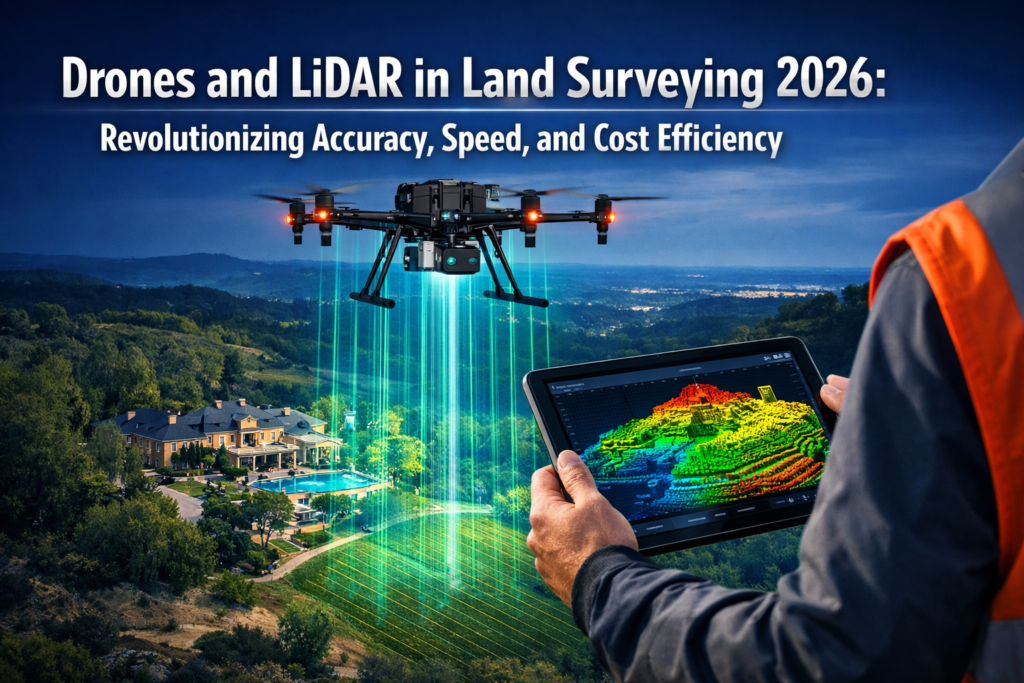
The land surveying industry stands at a pivotal moment in 2026. Traditional surveying methods that once took weeks to complete large property assessments are being replaced by advanced drone technology equipped with LiDAR sensors that can accomplish the same tasks in mere hours. This transformation isn't just about speed—it's fundamentally changing how surveyors approach accuracy, […]